The activity provides you with an opportunity to demonstrate your mastery of the class learning objectives to the extent that you are able to work independently, frame a GIS problem, develop a strategy for solving the problem, manipulate data, perform appropriate GIS analyses and produce high-quality map output. For today's project, you'll be provided with appropriate datasets, but you won't be given step-by-step instructions. As you work through the problem, you will need to draw on much that you have learned to date in the course.
You'll begin with three datasets from various sources for an eight-county region in northwest Oregon:
These datasets are located in the file proj5.zip on the class Canvas site.
Problem: Create a cartographically pleasing map that shows only those areas that combine the following characteristics:
Mixed conifer and broadleaf deciduous forest vegetation type
Forestry landuse type
Located in Clackamas County
You're encouraged to work together in small groups to develop and implement a strategy for producing this information. If at some point you feel you've reached a dead end, feel free to ask for help. However, it is important for you to try to solve as much of the problem as you can on your own.
Submission requirements:
Save your work so that when I open your .mxd file (entitled tada.mxd) I get something that looks like this:
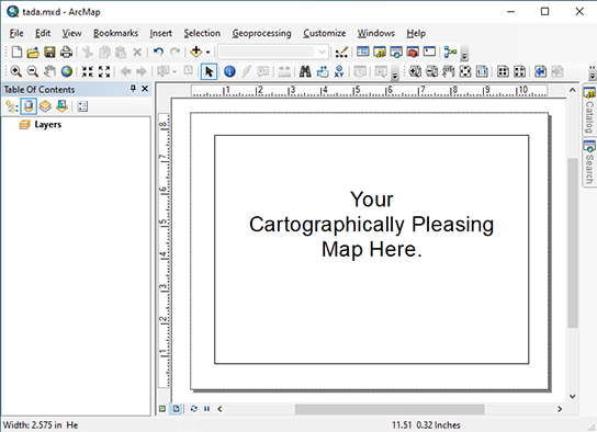
Note the lack of grids or dots or any other
windows being visible.
Save only the necessary files in a zip file called yourlastname.zip, where yourlastname is your actual last name, not the letters "yourlastname" and turn it in by attaching the .zip file to an e-mail and sending it to your instructor at: jcarroll@fullerton.edu
Just for fun (or exam practice)...
What additional data would you need and what data manipulation / analysis would you perform to calculate the total acreage that satisfies the above criteria?
More fun (or exam practice)...
What additional data would you need and what data manipulation / analysis would you need to perform if we added the following criterion to the list above?
Are you able to produce an end-to-end model of this project? Give it a try. Could you have created the end-to-end model without using the ArcGIS software?