 Where is the Delonix regia? When was the last time the Ombu was pruned?
To help visitors, volunteers, and staff at the Fullerton Arboretum answer these questions and others a team of students, faculty and staff are using GIS to build a digital map of the Arboretum. GIS, or Geographic Information Systems, combines the analytical capabilities of computer databases with the visual power of maps. More and more public gardens are using GIS to curate their collections, manage facilities, and make the gardens more accessible to the public.
The GIS Research Center at California State University, Fullerton is developing a comprehensive geospatial database of the Fullerton Arboretum. When completed (and even before), the GIS database will serve as the foundation for more effective management of the Arboretum collection and infrastructure. The geospatially accurate data will also enable development of interactive and immersive experiences for Arboretum guests via smartphone applications and, for those visiting the Arboretum online, through web-based maps.
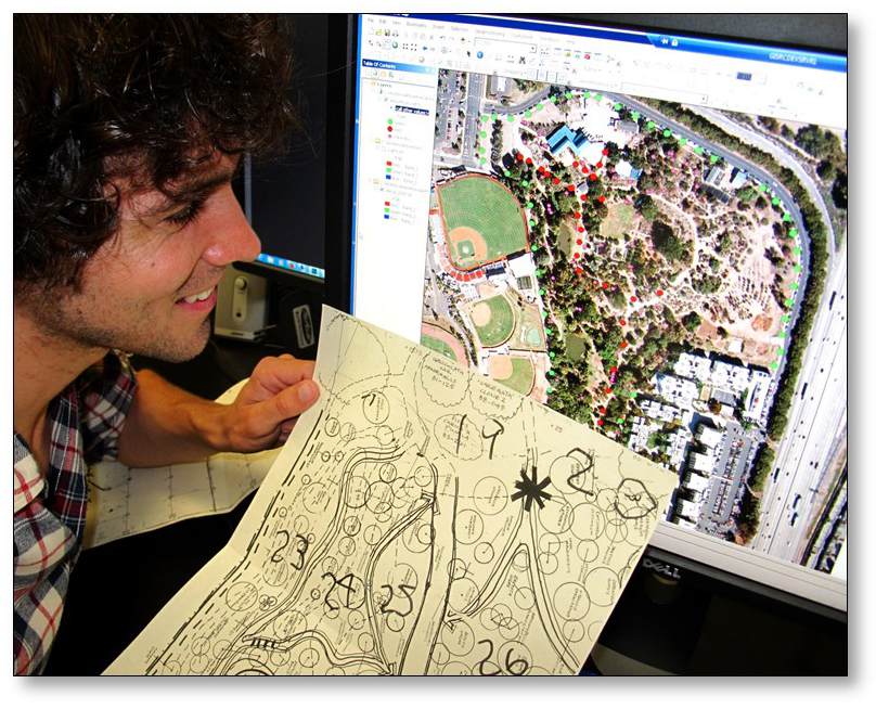
Currently, the students and staff of the GIS Research Center are digitizing information from existing maps and plant records (see photo) to build the foundation of the database. In the spring, students will be in the Arboretum checking the data for accuracy and adding plants and other features that were not captured on the earlier maps.
What about El Nino? Mud and puddles might add some extra excitement to the effort, but the equipment is waterproof and most of our students are, too.